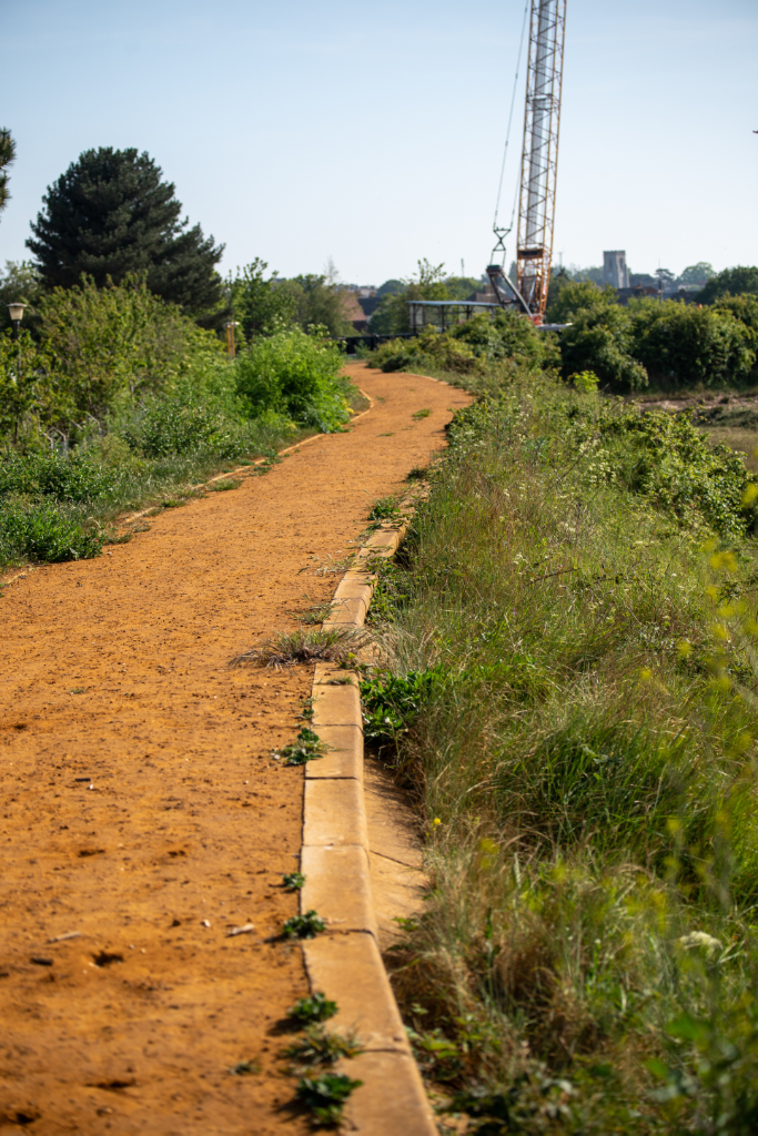
Getting out of the red Hyundai i10 in the blazing heat of a bank holiday scorcher I congratulated myself on finding a parking space so near to the sea wall. What with all the day trippers just the other side of the town it could have been a struggle, but Mill Lane runs away from the sea, away from the town, and into the edgelands. A less conspicuous parking run than most. A sign of how divided the geography is.
I wandered back up the Lane, gazing at the galvanized railings installed a few years ago to keep errant smokers of all ages away from the silted-up boat pond and to delineate the ownership of the unusable salt-marsh just the other side of the levy. Crossing the drainage ditch and passing the metalworks I turned into an unpaved road bordered by lockups. I navigated potholes and parked Mercedes’ until I reached some light industrial units. Keep out. I knew the way to the public path along the seawall so crossed the unit space, passed through an overgrown hedge and beheld the afore-mentioned sunbleached redundant boating lake. A rotting corrugated boat shed. A cluster of masts of stranded sailing boats reach desperately for the sky. Stripped of their sails they have no way of leaving their parched dry dock. Fifty years ago there were sailing dinghies and rowing boats for hire, quite an attraction in a seaside town with beaches covered at high tide, when the lake would have been brimful. Now, even at high tide, there are slim channels suitable only for a small canoe. The inevitable silting which comes with a regular in-out flow of tidal sludge has mostly filled the basin with soft mud. Impossible to walk on, no building potential, a natural conservation utopia, of sorts. Birds, plants, fish, insects. I realised that my knowledge of fauna and flora is exceedingly limited and that mapping the backwaters at that level would be a challenge. Nevertheless, there is a myriad of ways to examine a locale.
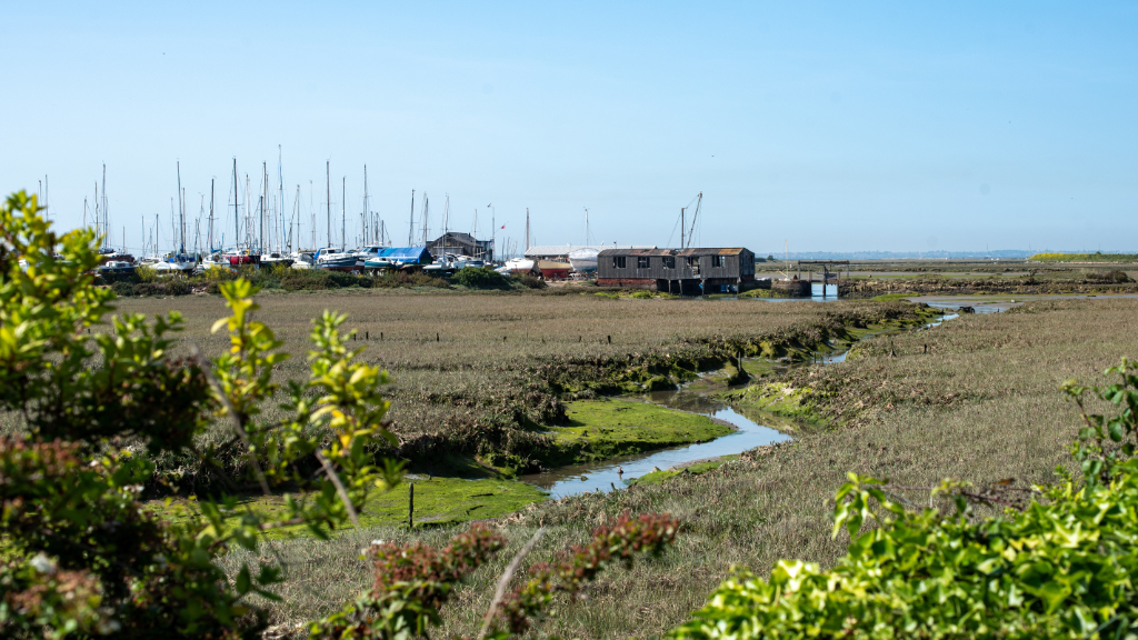
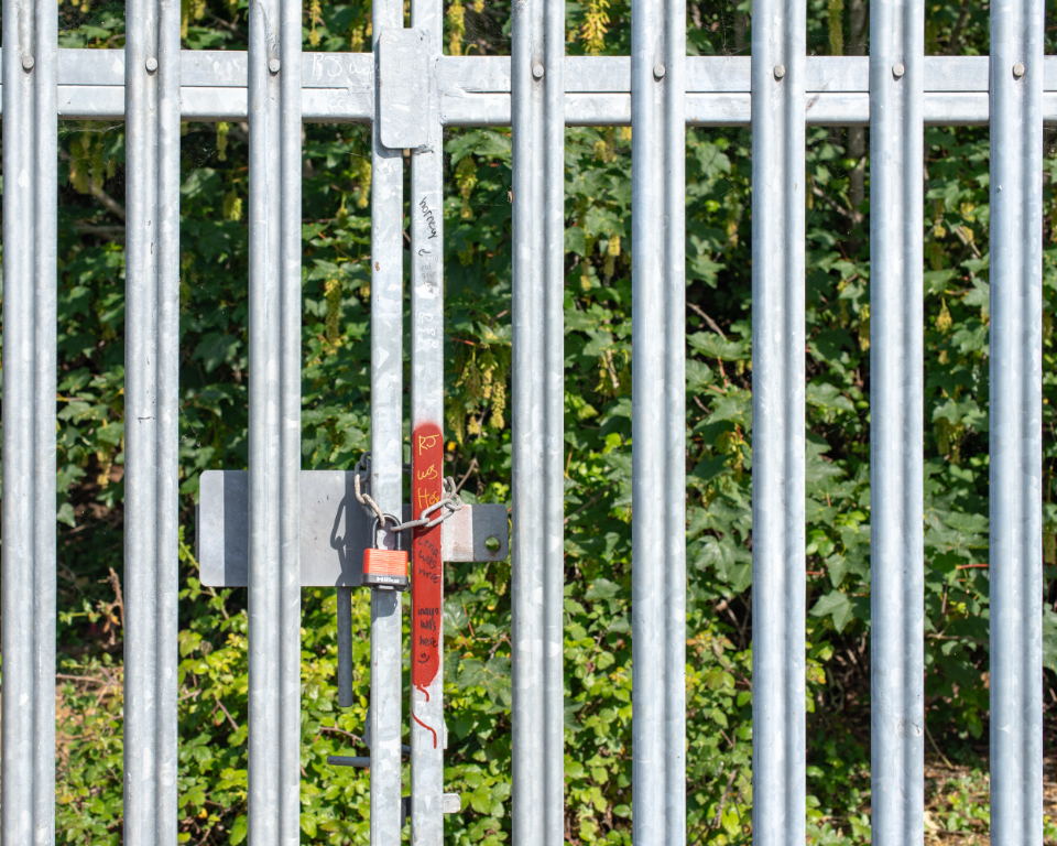
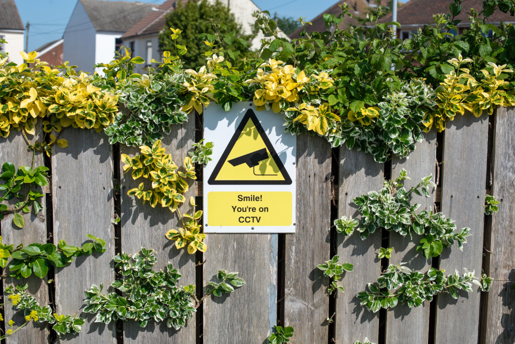
I carried on, heading anticlockwise around the lake. To my right, more galvanized railings, this time spiked. Padlocked gates. Memorialised in black Sharpie: RJ, Lena and Inaya was all here. Horney too, with an arrow pointing to the tempting gap between the locked entrance-way. I carried on, wondering about RJ, Lena, Inaya and Horney. Why did they choose to leave their marks here? What were they up to? Did they manage to get through the gates to some alternative Narnia, overgrown with brambles, knee deep in crisp packets and coke cans? I could ask a resident. The byway is bordered by Saville Street’s small homes. Wonderful views over the backwaters from first floor windows and balconies. Evidently coveted and loved by their inhabitants. Protected from inquisitive passers-by with fencing, nettles, more brambles. Nature’s way of saying “Clear off” accompanied by a bright yellow “Smile! You’re on CC TV” notice.
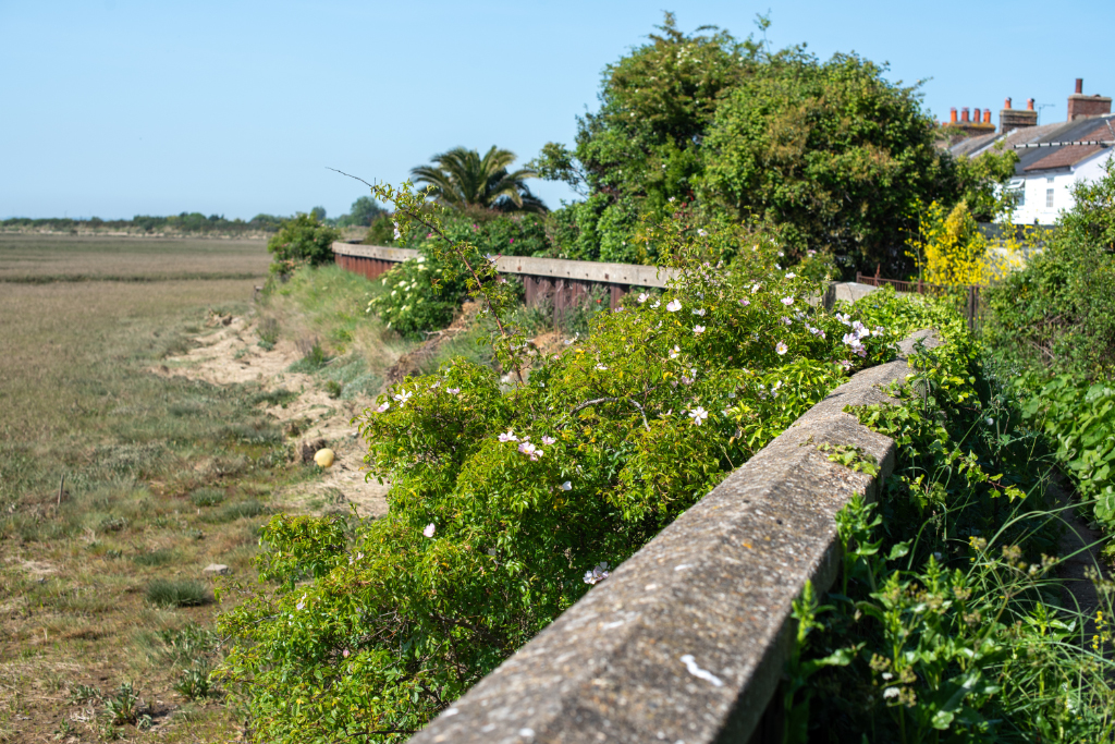
The red seawall on my left was installed after the devastating floods of 1953 when a storm surge killed more than 300 people in the UK, many in Essex and nearby Suffolk. Felixstowe, whose enormous container port is visible from here, lost 41; Jaywick, just down the road, lost 37; Canvey, further on towards London, lost 58. The memories of this disaster still linger among local people and the local infrastructure. The water rose on the evening of January 31st 1953, and due to a combination of the wrong type of wind, and air pressure rose over the existing defences across the coast both here and in the Netherlands. While the sea was entering the town on the beach side, it was also pushing through the backwaters channel and flooding in through the back of the town, across Bathhouse Meadow, isolating the Naze and filling the streets and homes with freezing cold salt water. At night. I imagine the sleepy residents being woken by the police knocking on their door. Others waking to find their downstairs knee deep. Even for those living in such proximity to the great grey fluid mass this would have been a shock. Happily there were no mortal losses here, although others were not so fortunate. With the tragedy in living memory I reflect on how important it is to recognise the power of the sea, a dynamic and ever-changing force and how it shapes the landscape here, making human efforts insignificant.
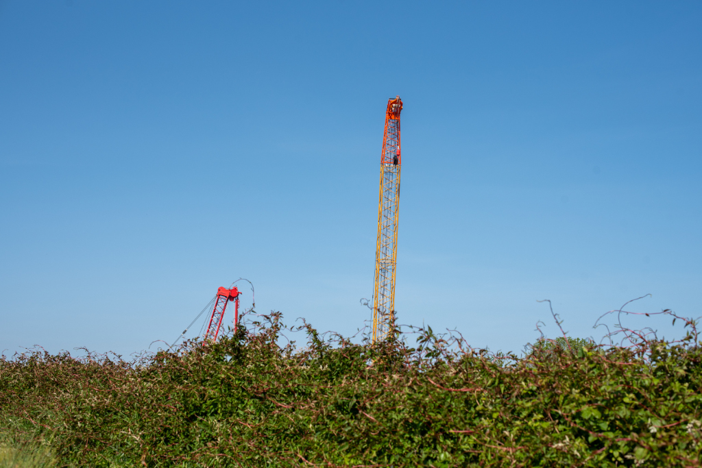
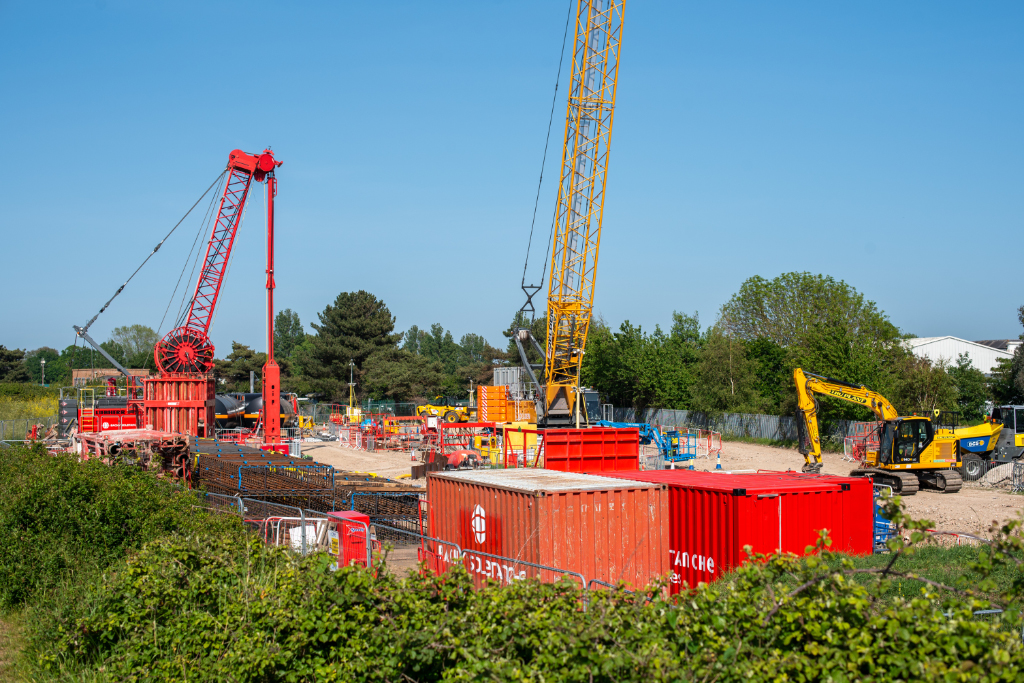
As if in response to these thoughts, brightly coloured metal structures rise above the hedge. I get closer and see a building plot the size of a football pitch, populated with containers, a crane, digger, enormous black cylinders and sheets of wire mesh. The preponderance of red and yellow paint highlights the spot as one of importance.
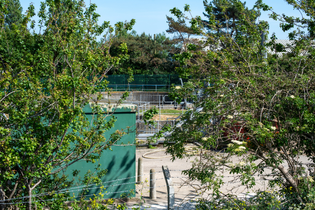
Walking on, I notice the postwar terminal pumping station, which collects local sewage water and pumps it to the water recycling centre further along, at the Naze. Its combined sewer overflow diverts excess water from flooding and storms direct in the North Sea. Another example of human intervention in managing this fluid coastline, tucked away behind the sea wall. Behind it rises the Columbine Community Centre, installed in 1992 as a multi-purpose events venue and used for martial arts, marital celebrations, exercise classes and indoor bowls. It is named after Walton’s WW1 war hero, awarded the Victoria Cross for bravery, sticking to his gun against all the odds. Walton itself continues with that fortitude, carrying on when all seems lost. (A statue, recently celebrated in print by a controversial local politician and funded under the patronage of Dame Judi Dench, looks out to sea on the Walton promenade.) These works are visibly below sea level. It is rumoured that the Columbine may be demolished and replaced by domestic flats. I would not consider this the most secure place for property development and wonder about how decisions like this can be made in times of rising tides.
The path curves back in towards the channel which joins the town to the sea and encloses the boating pond, identified in some online maps as open water. Also called Walton Mere, at this tide level the open water is no more. Instead, a complex structure of creeks, islands and saltmarsh has been revealed, caught by the blazing sun for a glimpse before it is covered over by the incoming tide in a few hours. This process – incoming and outgoing, ebb and flow, defines the character of the location. The fluidity means this everchanging landscape, eternally dependent on light and water, is in a constant state of becoming. Despite the ‘permanent’ surrounding sea walls drawing a solid line around the shifting water’s edge, the in-and-out breathing of the tidal waters ignore this demarcation as they lower, and strain against it as they rise. Being within this environment is absorbing.
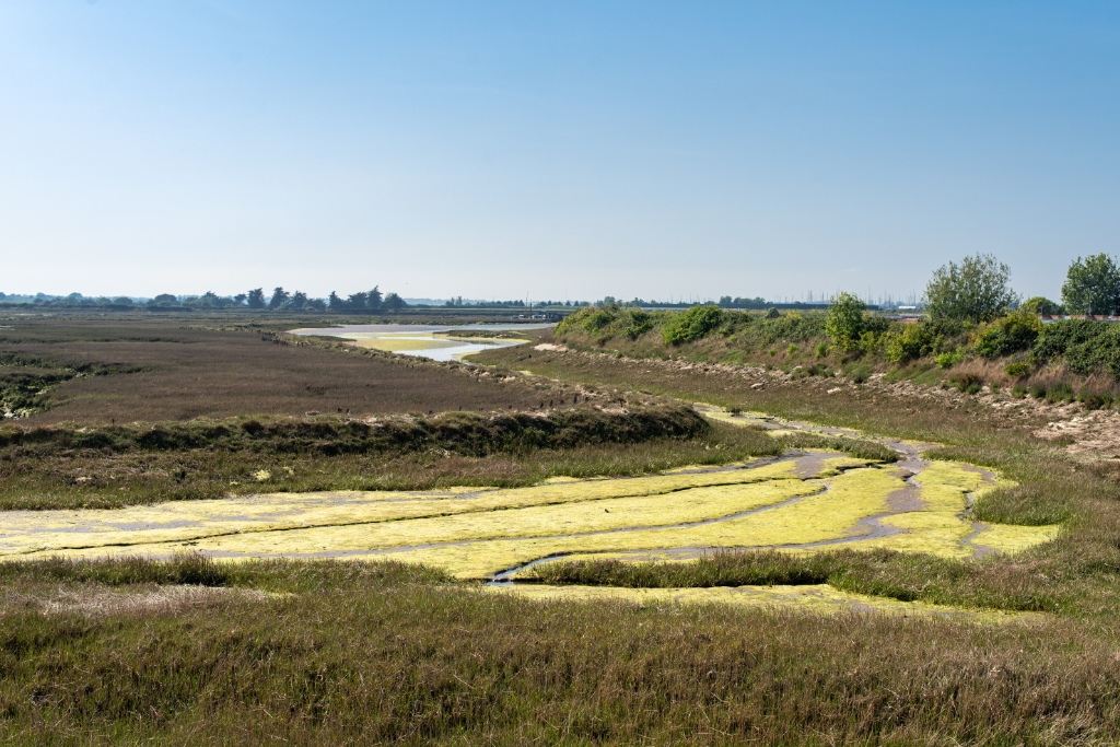
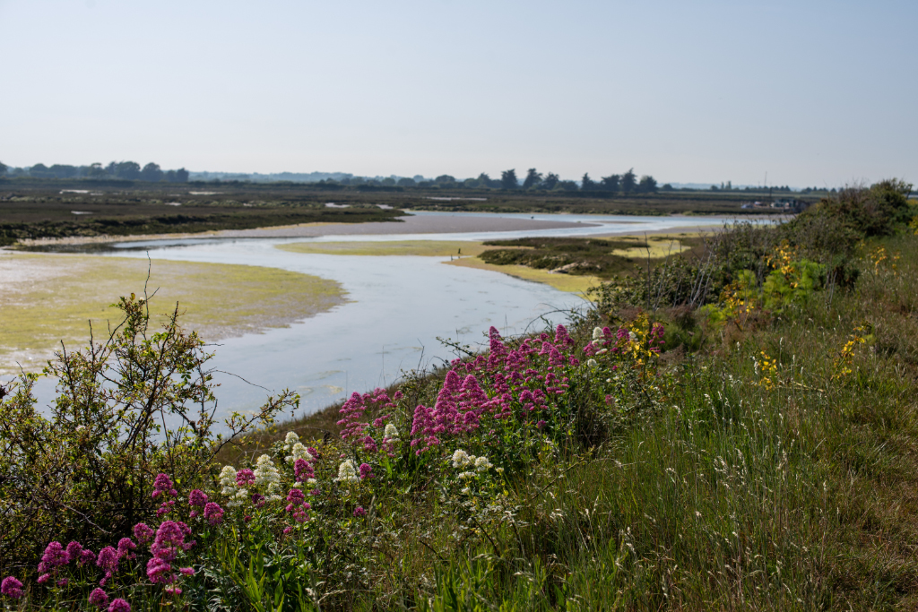
I walk on quietly, reflecting on the changing greens of the weed, algae, edge plants, brambles to my left, while to my right happy campers enjoy the warbles of a man singing Frank Sinatra in the Boathouse Bar and Restaurant entertainment centre in the Naze Marine Holiday Park while they prepare for yet another key match in the season’s inexorable downfall of Tottenham Hotspur and go on to narrowly avoid relegation. While the Tottenham stadium is 80 miles away along the A120, A12, M25, M11 and A406 (or a train ride from Walton to change at Thorpe Le Soken and then on to Liverpool Street, and a brief ride up the Weavers Line to White Hart Lane), many of the holidaymakers at the Park hail from north and east London.
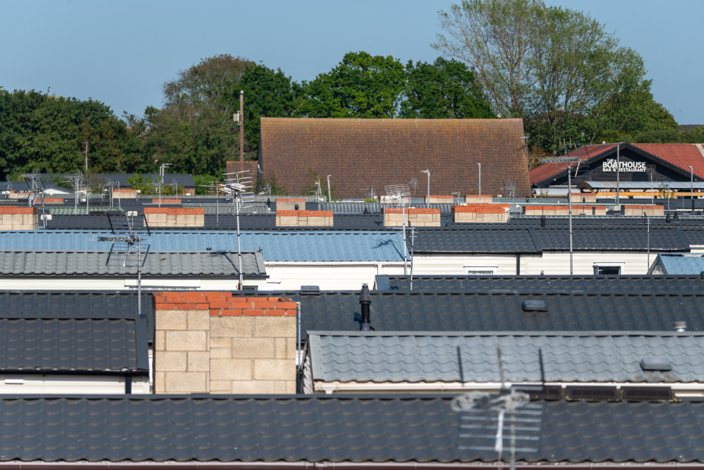
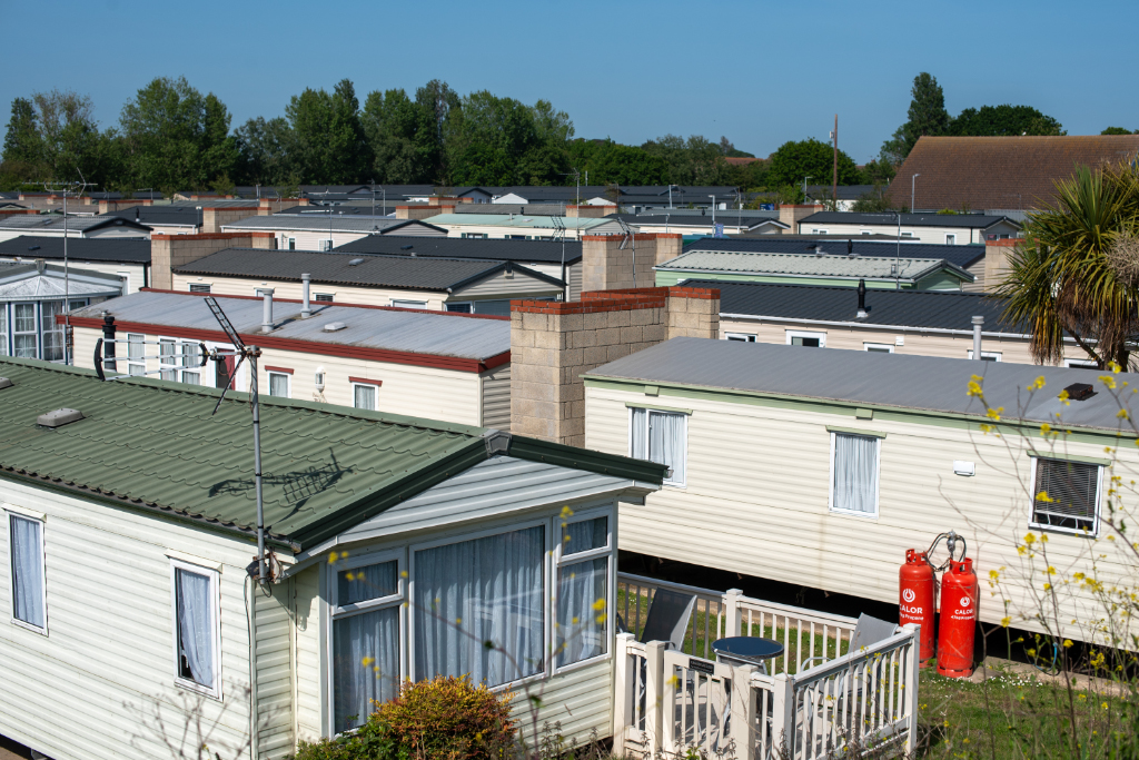
Hundreds of identical holiday homes are laid out in clean diagonals behind the sea wall. A seaside city populated by Londoners escaping the smoke for a bank holiday weekend in the sunshine. Arsenal, West Ham, and Spurs beach-towels and tops jostle for space, lonely teenagers squint at their phones seeking solace from their soon-to-be forbidden social media, sunbathers relax on verandas and Frank gives way to a rousing cheer as he makes way for the doubtless majestic TV screens as the football kicks off. Ignoring the nail-biting and angst, I walk on, occasionally hearing massed gasps as opportunities are missed, and mistakes are made.
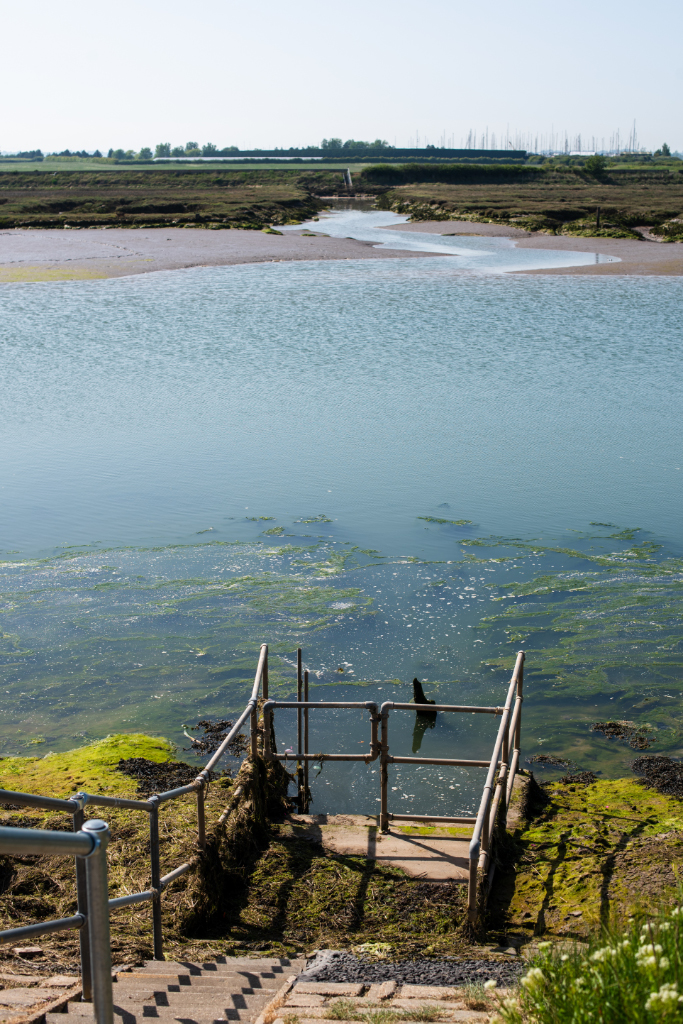
Turning the corner, away from the boating lake and yacht club, moving downstream, towards the eventual North Sea some galvanized steps lead down to the water’s edge. A refuge for fishing from, as sea bass swim up with the tide, searching for worms rising from freshly covered mud as the tide comes in. Opposite the steps a creek heads away towards the opposite sea wall. In Arthur Ransome’s ‘Secret Water’, set in this locale, some Swallows and Amazons children are marooned by their parents and told to map the territory. In the book, which was written in the 1930s, the parents are referred to as missionaries, the locals as natives, and the children as explorers. In one section of the book, some of the children set out from their camp on Horsey Island to Walton to check in with their parents on the phone in the grocers, do some repairs, and buy provisions. Their cat, Sinbad, wanders off during this excursion and leads to the discovery by the children of a creek they subsequently map, naming it Sinbads Creek. This could be the place. Well … sadly not. This creek does not extend to the track they are reported to be walking up, which is some distance away. Ransome’s poetic licence is the cause of this mistake, despite the rather spooky accuracy of much of the remaining narrative.
Continuing onwards, a massive ferro-concrete barge lies to the edge of the sea wall, sloping at 30 degrees it’s another popular fishing spot, with space for sunbathers from the holiday park. Built during the second world war, some of these barges were designed to transport petrol and it was planned that they would assist in the Normandy landings. When it was found that they were too fragile and not fit-for-purpose the idea was abandoned – as were many of the barges, which now act as breakwaters around the east and south coast. There is a set of them at the entrance to Hamford Water by Stone Point, further down the channel, marking the edge of Horsey Island and guiding incoming and outgoing craft through what are known locally as the Dardanelles.
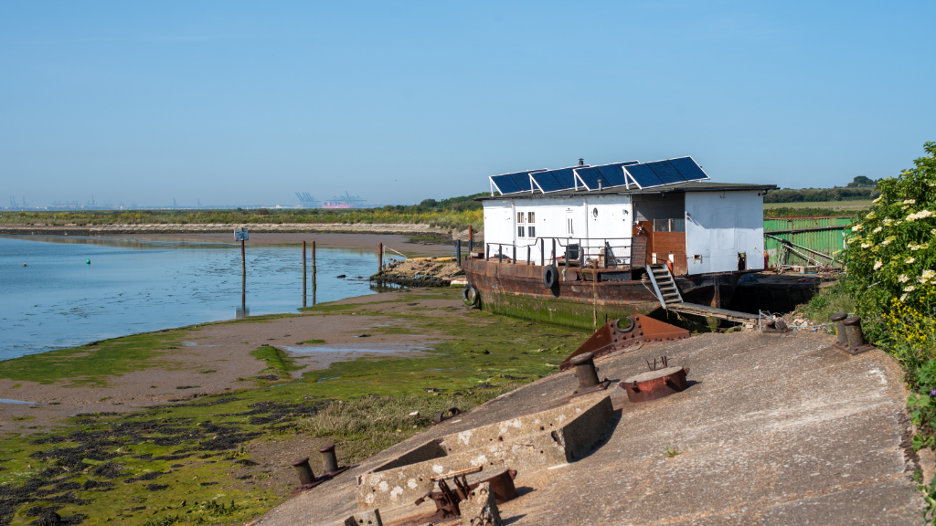
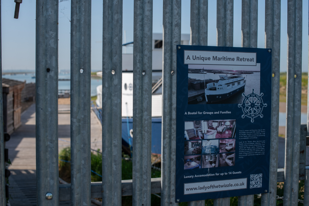
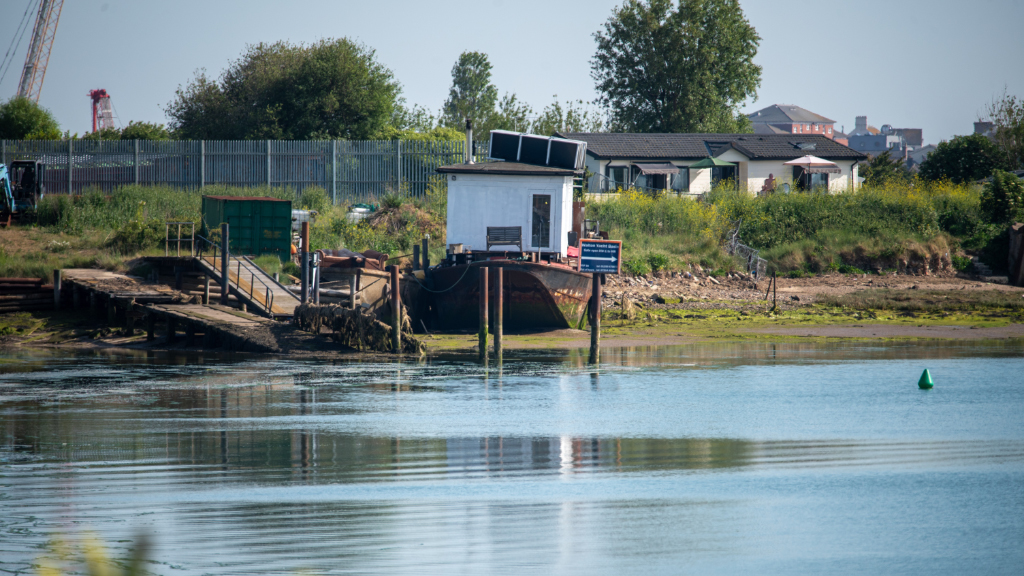
Right next to the barge is an unusual structure. A rusting cast iron barge has been adapted as off-grid living quarters, similar to the home of the Mastodon in Ransome’s Secret Water. A similar project lies on the other bank, closer to the Mere, storing the seal man’s equipment. This Mastodon structure is more of a residence – solar panels cover the roof, a white Audi sits alongside, resting on dried potholes. This is Foundry Quay, where a decrepit wooden pontoon stretches into the water, making a landing point to the former foundry abutting the holiday park. There’s an unmade road leading through industrial-use land, towards the Naze part of Walton. A large vessel known as the ‘Lady of the Twizzle’ sits here, rented as a holiday home / party venue – a ‘boatel’, securely behind 12 foot spiked railings. Two enormous storage containers sit alongside, their orange rusting glowing warmly through the original blue paint coating. The combination of bespoke man-made shelters and natural salt marsh is stark here, reminding me of the ever-present industrial influence on this littoral shore along the entire length of the Essex coastline.

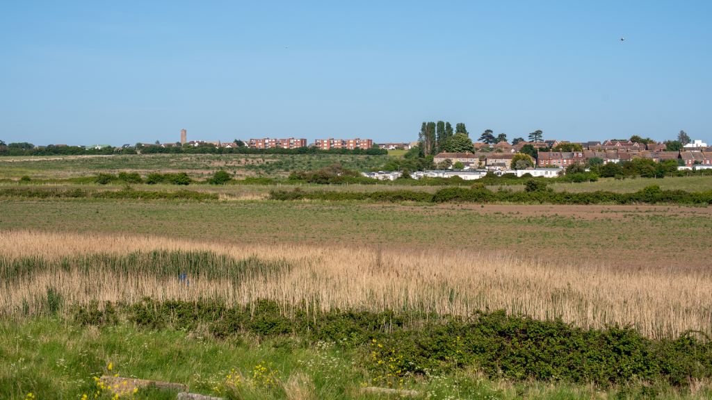
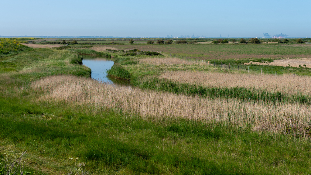
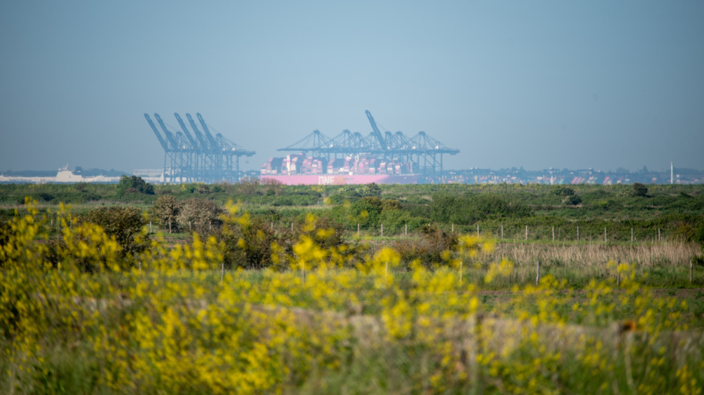
I squeeze along an overgrown path – this is ‘No Mow May’, after all. To my right, eastwards towards the Naze Tower and the North Sea, lie grazing meadows and residential development. They lead away from the rising tides towards the relative safety of the Naze itself. A drainage ditch meanders gently through the meadow, creating another new landscape of bucolic English flatland. Felixstowe, the biggest container port in the UK, founded more than 150 years ago and still flourishing. This is the landing point of our desperate acquisition of stuff from afar. Countless containers, cornucopiae of consumer goods arrive here, leaving as landfill for other shores when their job is done. This ever-turning cycle goes on day and night, huge-loaded container ships queueing at a distance from the shore, away from the gigantic windfarms in the far distance.
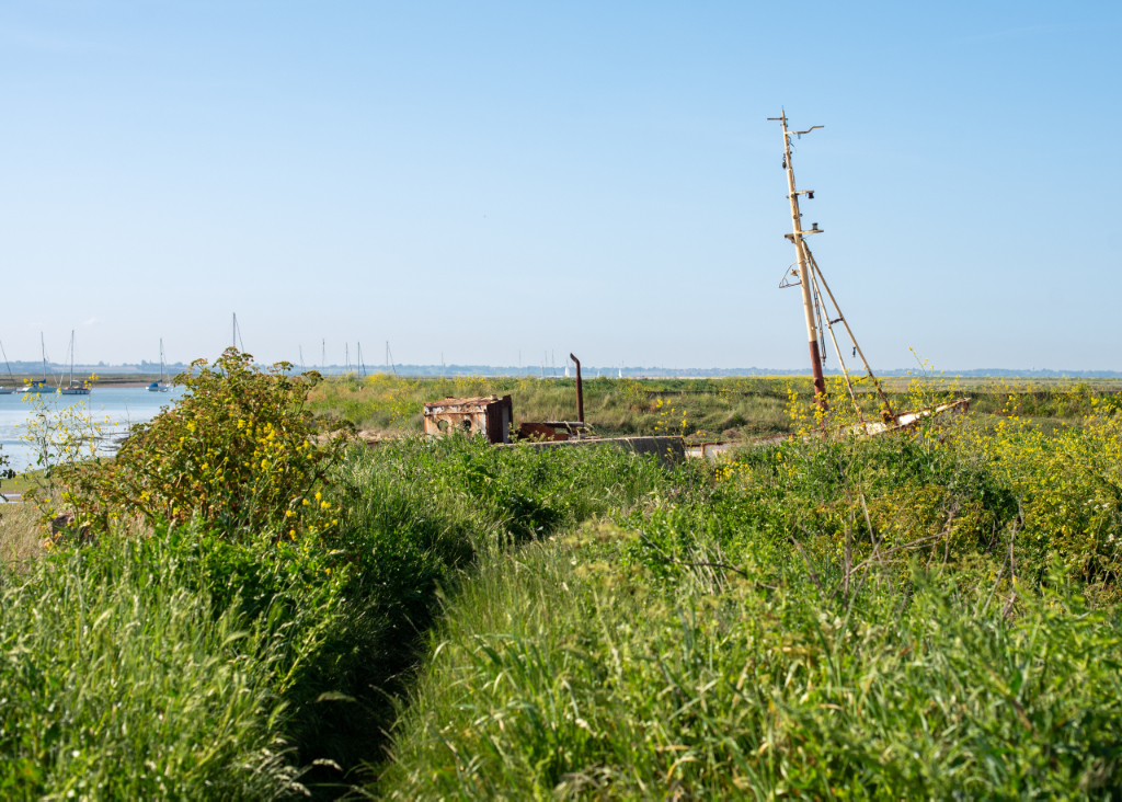
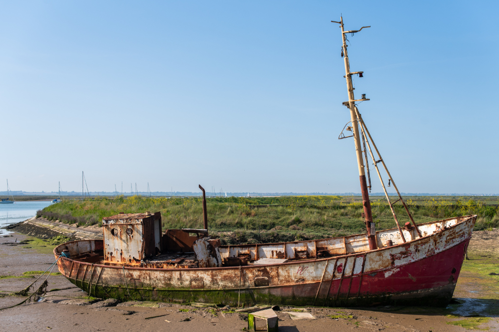
Ahead of me, a wreck appears. A former fishing vessel. According to Teena Ann Everitt on Facebook,
“It’s called the Cockett Vale, built in Holland and worked out of Penzance until retired to the Blackwater in the 80’s, sold to my friend in the 90’s moved to Colchester, sold again in the 2000’s and unfortunately left to ruin in Walton waters.”
Its original red and white paint rusted and decaying, covered in bright luminescent weed, rotting away as it sinks into the mud. The sea reclaims its own. There are many dead and discarded boats here at various stages of decomposition, not worth salvaging, and beyond repair they rust and rot, eventually being absorbed into the mudflats as if they have been digested by an insatiable life force. I slide down the sea wall slope and wander around the edge of the water. The fluorescent green weed sits astride soft squelching mud and creeps up the hull as if to envelope the vessel and eventually absorb it into the deep.
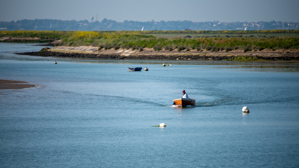
I watch a small wooden boat pass by on the way to the town. Well cared for, it could be 60 or 70 years old. Eventually, though, the wood will rot away into the marsh like so many others before it. Everything dies but this living landscape, breathing as the tide ebbs and flows will continually renew, self-composting its various fauna and flora to create new mud banks and the cycle will continue.
I wandered back to the car thinking of how this landscape is ever becoming, a living environment, holding a delicate balance between man and nature, industry and environment, while the tide turned and the mud gradually returned under the brown water until next time.